GIS Strategic Planning
Establishing an Enterprise GIS Roadmap for Eastern Municipal Water District
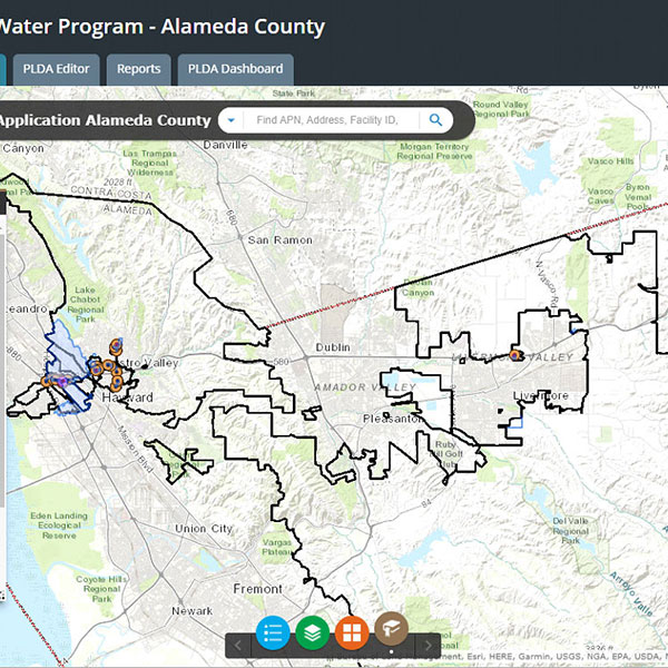
Having been an early adopter of CAD then GIS technologies to manage geospatial data, this large water and sewer district needed a GIS Strategic Plan to achieve organizational improvement objectives. Their geospatial legacy resulted in a complex array of systems, processes, and varied data quality.
GIS strategic planning services included evaluating existing business processes, systems, databases, and engaging 25 different teams. Findings of the needs assessment guided development of an enterprise strategy to streamline and enhance GIS capabilities and integrate with existing asset management and business services. The detailed multi-year roadmap plan was adopted by the Eastern Municipal Water District Board.
Services
- Enterprise Technology Planning and Deployment
- Enterprise-Wide GIS Support – Mobile Asset Data Collection Tools
- GIS Integration with CMMS for Enhanced Operations
- Engagement with Agency Stakeholders, including Technical and Executives to Adopt Master Plan Recommendations
CLIENT
Eastern Municipal Water District
LOCATION
Perris, CA