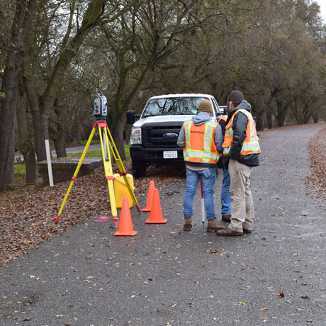
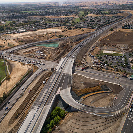
Survey Services
At the Forefront of Advances in Surveying Technology
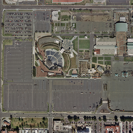
Dramatic advances in technology have transformed the surveying profession. This technological explosion has produced some very real advantages: increased productivity, a higher-quality work product, and a broader array of services and creative solutions.
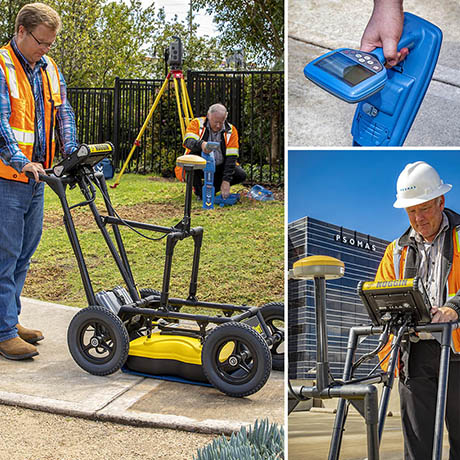
From 3D laser scanning capabilities to FAA Certified Remote Pilots for small Unmanned Aerial Systems and subsurface utility detection services, Psomas brings a plethora of capabilities to your project.


Services
- Design Surveys
- Right-of-way Engineering
- Construction Survey & Staking
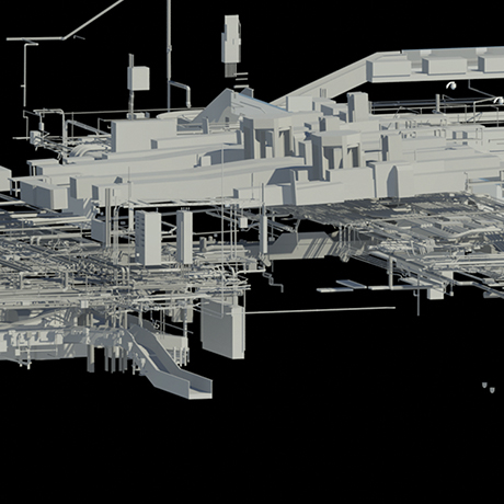
- Terrestrial and Mobile LiDAR Scanning
- Subsurface Utility Engineering (SUE) & Collection
- Geographic Information Systems (GIS)
- Asset Location & Management
- Aerial Mapping/Photogrammetry
- Small Unmanned Aerial System (sUAS)/Drones
Psomas Welcomes Pfeiler & Associates