Levees of the Natomas Basin
Surveying Levees, Creeks, and Drainage Channels for 100-Year Flood Protection
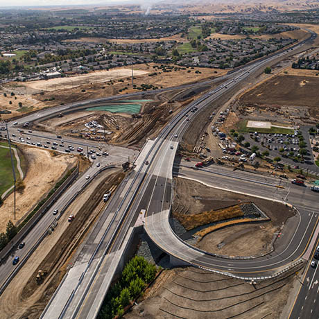
The levees in the Sacramento area along portions of the Sacramento and American Rivers, Steelhead Creek, Pleasant Grove Creek, and Natomas Cross Canal provide 100-year flood protection for the Natomas basin. The $600+ million Natomas Levee Improvement Project involves the repair and upgrade of more than 42 miles of the levees.
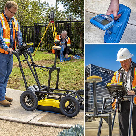
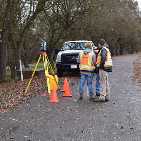
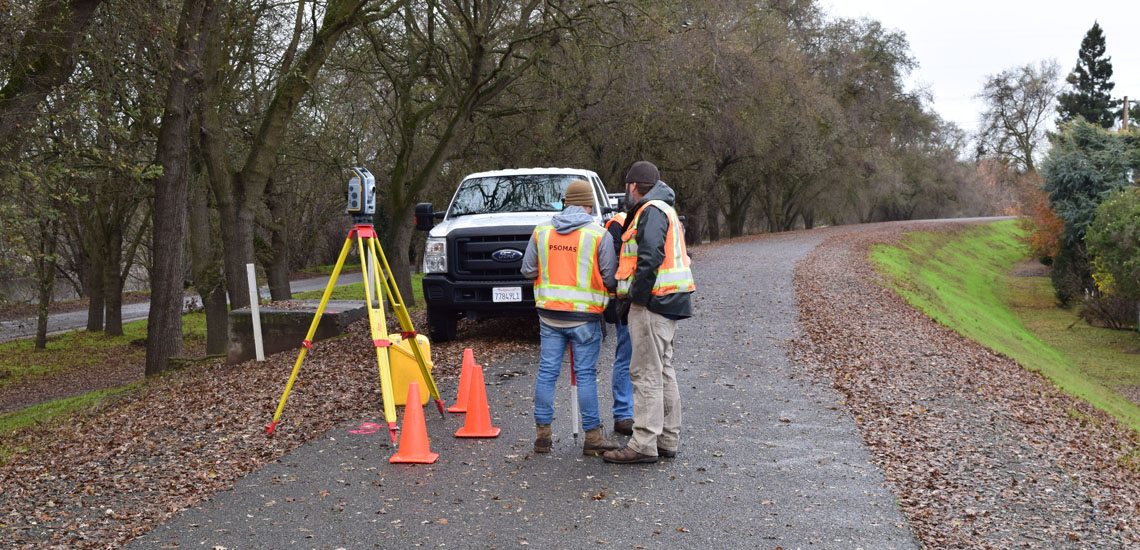
For over 10 years Psomas has provided surveying, aerial orthophotography, base and topographic mapping, right-of-way engineering, mitigation and cultural resource mapping, and construction support surveys. Special services include creation of a basin-wide project control system and support of land acquisition activities.
Services
- Surveying
- Right-of-Way Engineering
- GIS Consultation
CLIENT
Sacramento Area Flood Control Agency (SAFCA)
LOCATION
Sacramento, CA
VIEW NEXT
