We all know about drones by now, and most of us have probably looked into buying one ourselves, perhaps the new DJI Mavic Mini model, but more important are the commercial institutions that are getting their hands on them. Significant improvements in drone technology are creating a variety of opportunities for innovation across many industries. For civil engineers, drones have become extraordinarily useful for parking studies, traffic monitoring and as a means of verifying field conditions, among other projects.
Keeping Tabs on Traffic Congestion and Construction
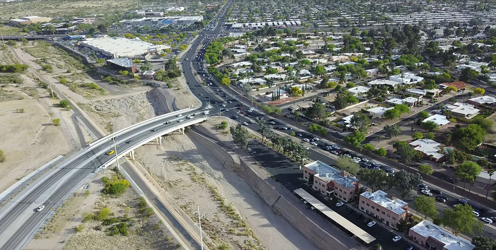
Sometimes it’s difficult to see what’s causing congestion from the ground, even if you have several people on site. In one case, we were examining a network of three extremely busy intersections with significant traffic backups. Instead of the traditional approach of deploying multiple people to measure queues and verify signal operations, we decided to use one of our drones to get a better view of the situation. Using the aerial view, we were able to show that, while there were significant backups in some directions, the real issue was signal timing. With a fairly small effort we were able to develop different timing plans and signal phasing that significantly improved conditions.

Another benefit of drone use in this situation is that field logs aren’t always convincing to the public, agency staff or elected officials. Aerial videos, on the other hand, are a great way to visualize and communicate the issue, which leads to faster and more committed buy-in of the proposed solution.
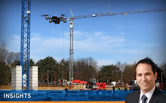
Drones are also a great way to keep track of projects under construction. We perform monthly drone flights for several of our projects currently in construction, which allows us to efficiently monitor progress, anticipate potential issues, and create a visual log in case of disagreements on quantities, staging or any other issues. We have also used drone photos as backgrounds to address contractor questions or requests based on field conditions.
Parking Studies: A Bird’s Eye View
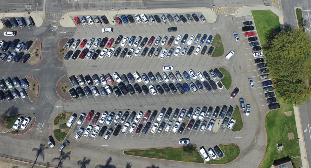
Typically, in a parking study, staff are required to walk around the study area to inventory the parking supply and manually record which spaces are occupied. This operation is repeated several times to evaluate parking utilization by time of day or for special events. Over time, this labor-intensive approach is very costly. Using a drone, however, you can get a bird’s eye view of the study area. It is easy to zoom in and see which parking areas are overcrowded and which ones are underutilized. Congestion and other issues can also be observed.
In a recent project for a college, we were able to fly a drone every hour to evaluate usage of more than 8,000 parking spaces. We determined the busiest times of day and which lots had unused capacity. The information collected with the drone was very useful in guiding the location of new parking structures and on improving connectivity across campus to encourage people to use the less congested lots.

Using Drones to Fill in Information Gaps
We have also used drones on various projects as a way to supplement other data. For example, we were working on a bridge project near a creek that had been developing a natural bend over the last 15 years. By using data gathered from the drone, we were able to determine that the creek had migrated approximately 50 feet in the three years since the last images of the area had been collected.
Having this information helped us identify the need for a revised survey of the area to understand the scope of the issue, without incurring significant costs.
In another project in a rural area three hours from our closest office, the commercially available aerial photography was outdated and of low resolution. So we used photo and video drone data to supplement our field surveys, thus saving additional trips to the project site.
Using Drones Responsibly
Although drones can be used in a variety of ways – some of which we haven’t even thought of yet – it is important to use them in a manner that is safe and compliant with regulations. We spend time identifying the data needs and goals of the project, developing a flight plan, and communicating with our certified drone pilots (who are also engineers) to ensure safety and compliance.
Finally, it should be acknowledged that not every project is a good fit for drone use (due to location or project type) and that at times other tools are superior. However, being able to use drones to collect data is definitely a great tool to have in the engineering toolbox.
By Alejandro Angel, PhD, PE, RSP2, PTOE, ENV SP